
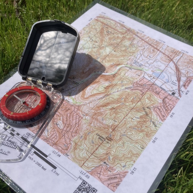
About the Course
What You'll Learn
This course is about more than just finding your way; it is taught from a naturalist's perspective. Together, we will cover a variety of topics, including:
– How to choose the right map for your trip
– How to locate yourself and locations on the map that you can’t see
– How to read and calculate topographic lines
– How to determine your location in Latitude/Longitude formatting, as well as UTM.
Length: 4 Hours
Cost: $100/person
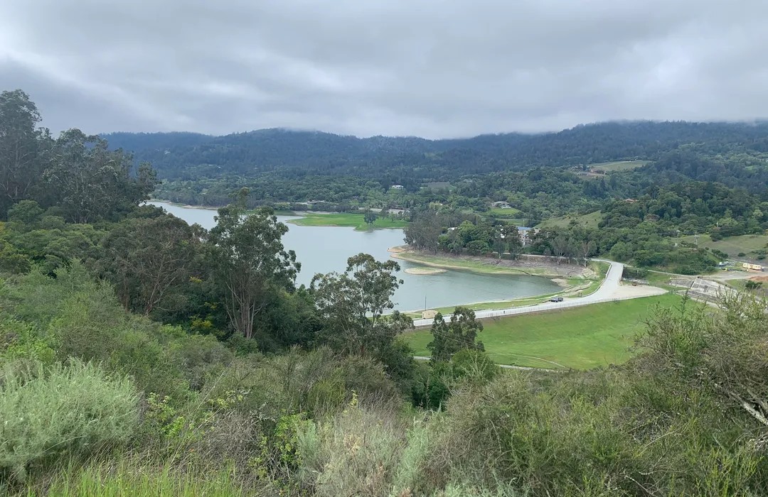
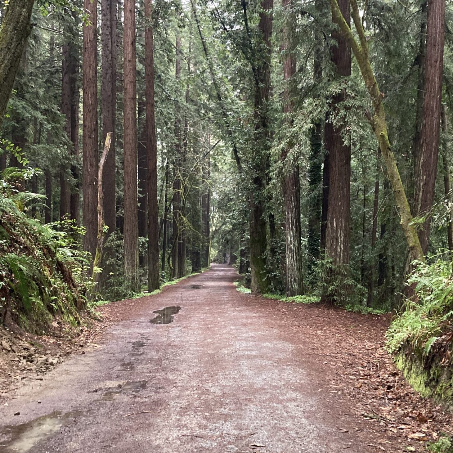
St. Joseph's Hill
Difficulty: Moderate (3.5 Miles/700 ft. Gain)
This four-hour course includes a moderate difficulty hike with a distance of about 3 miles and an elevation gain of 700 feet. It takes place at Lexington Reservoir off of Hwy 17, and features a picturesque view of the reservoir and the Santa Cruz Mountains.
About this course
Never Stop Exploring
We want you to feel comfortable and confident when out and about in the backcountry – whether it's a day trip in a new park, or a multi-day backpacking trip.
Come out and learn the essentials of using a map and compass to guide you in unfamiliar areas.